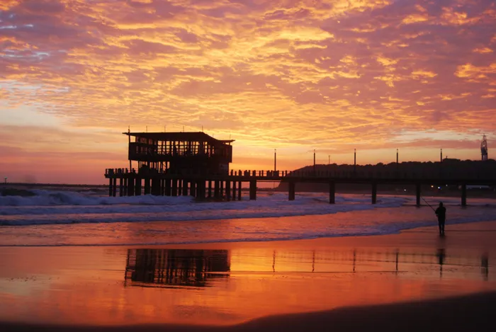
Warmer weekend weather expected in Durbs
Picture: STEVEN NAIDOO Picture: STEVEN NAIDOO
Durban - Durban is expected to warm up for the weekend. Good news to many who've had to haul out the heaters and warm socks following Thursday's bout of cooler weather and rain in some parts of the city.
For Saturday and Sunday, it seems it will be shorts and shades all round as temperatures are expected to get much warmer.
However, for those living outside of the province, it may not be sunshine and warmth.
A cold front is expected to reach the Western Cape by this weekend with parts of the country also expected to feel the chill.
Afternoon satellite image (24 August 2018). Cloudy in the extreme east with isolated showers and possible isolated evening thunderstorms on the Highveld. Fine and cool to warm for the remainder of SA. Cold front expected to reach the Western Cape tom (Sat) late afternoon. pic.twitter.com/jVE2CmGsCT
— SA Weather Service (@SAWeatherServic) August 24, 2018
According to SA Weather Services, the weather appears cloudy in the extreme east with isolated showers and possible isolated evening thunderstorms on the Highveld. Snow has been forecast for areas in the Western and Northern Cape this weekend.
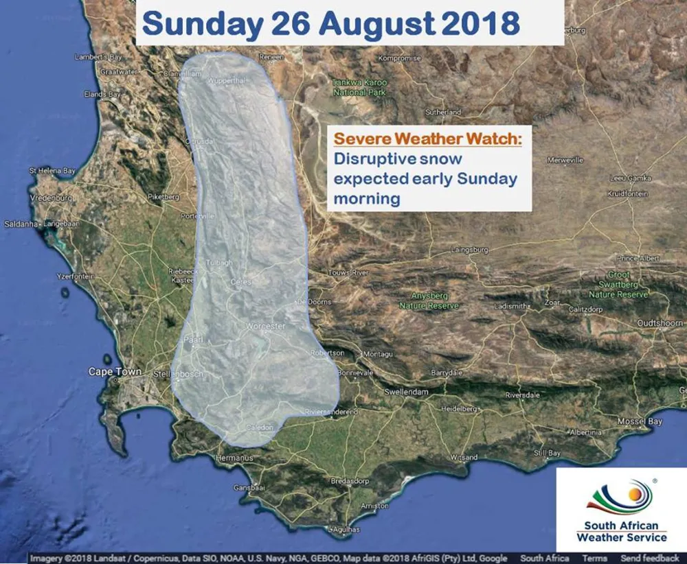
Snow Report SA said they are expecting high-lying places in the Western Cape to be closed on Sunday morning.
"The cold and wet is expected to arrive in the western parts of the Western Cape just after midday on Saturday. By evening, we should have our first snowfalls on the high peaks around Ceres, Wellington, Worcester and Paarl. The heaviest snowfalls are expected during Saturday and into Sunday morning, and significant snowfalls are expected over all mountain ranges in the western parts of the Western Cape, including the Cederberg, Hex River Mountains and the Boland range. All areas above 900m from Stellenbosch in the south to Citrusdal in the north, and from Paarl in the west to Uniondale in the east are currently in the zone to receive snow by Sunday morning. As we move further into Sunday, the snowfalls in the east (Swartberg, Outeniquas etc) will tail off, while snowfalls could still persist in the west of the province in the Hex River Mountains, Matroosberg, the Cederberg and the high lying peaks around Stellenbosch, Franschhoek and Paarl, and may continue until early evening," Snow Report said.
Snow Report added that lots of rain is also expected at the lower elevations with this system, extremely cold weather and strong winds too. We advise caution when travelling on Saturday night and Sunday morning.